Factsheet Dire Dawa
This factsheet from the Global Monitor 2026 presents the support of the MobiliseYourCity Partnership to the SUMP in Dire Dawa, Ethiopia.
- SUMP
Other
Aguilar Réka
Website Manager
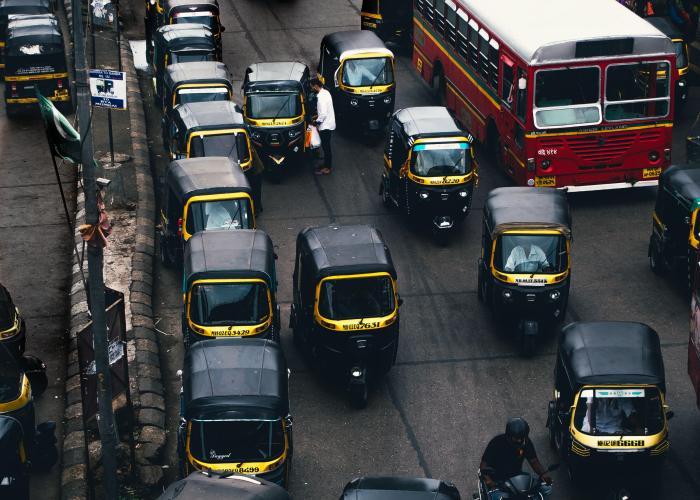
This training set focuses on digital mapping as a project and how it can be designed and planned. This would entail the most common challenges and risks other cities face and mitigation techniques.
Description
This training set focuses on digital mapping as a project and how it can be designed and planned. This would entail the most common challenges and risks other cities face and mitigation techniques. Similarly, the training set focuses on freely available software tools that enable data collection and management, the different data formats and standards used, and several use cases of the output datasets from the mapping process. While paratransit offers opportunities for employment and a flexible and adaptable transport system in many cities in Africa, Asia and Latin America, it is also related to challenges like air pollution and road safety. The first step in solving such a problem is understanding it; data is at the core of this understanding. Mapping paratransit routes and depicting daily operations are a lever to provide sufficient data to decision-makers that might contribute to the sector's reform.
Training Objectives
Indicative agenda
If you are interested in accessing this training material, please get in contact with the MobiliseYourCity Secretariat: contact@mobiliseyourcity.net