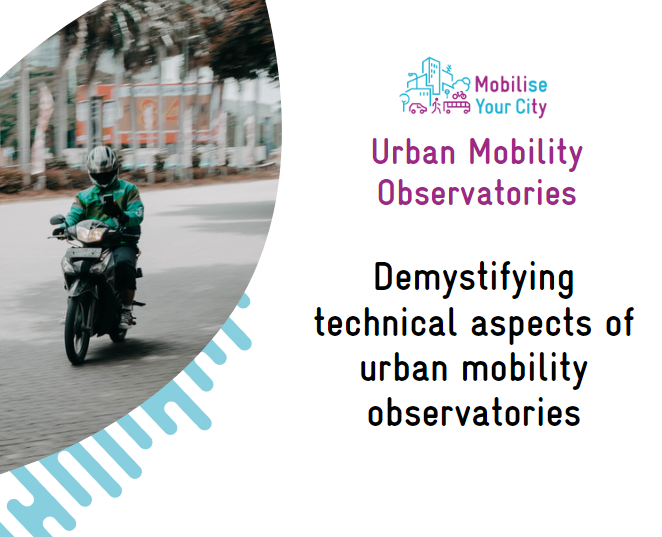
The first part of this session will focus on the technical architecture of the Ubran Mobility Observatories. The genericity of the developments and the replicable nature of the application will be highlighted. During the second part, the resources needed to implement the application in another territory will be discussed. The speakers explain the opportunities around the open-source development model. The last part focus on access to geospatial data in a growing open data movement.
Here are a few key moments and recommendations from the session :
- Reminder of Session 1
- The Mobility Observatories Architecture
- General data architecture
- Observatories data architecture
- The component of the observatories architecture
- What is a map server?
- How to deploy a new instance?
- Data requirements to launch a platform
- What is the process?
- How much does a platform cost?
- Example of a deployement process
- How can a platform evolve?
- What is OpenSource?
- What is OpenData?
- How to visualize data using a GIS software?
- What is OpenStreetMap?
- How to contribute to OpenStreetMap and what are the benefits?
You can watch the full recording, here. You can also download the powerpoint of this session by clicking on the link below.